About the Trail : Illinois Prairie Path - Erik Spande
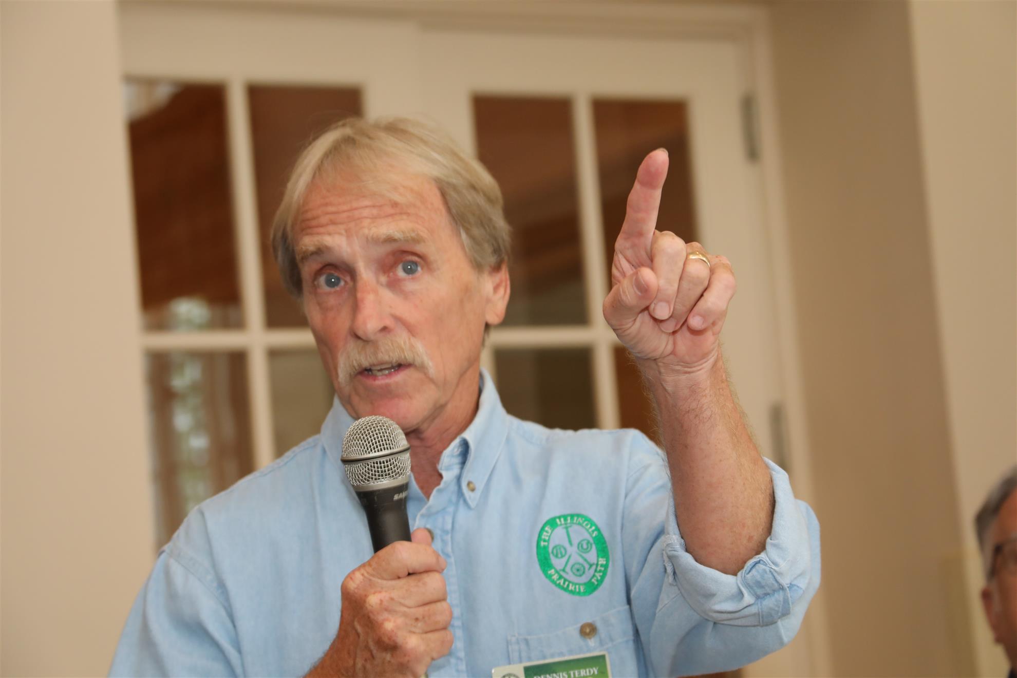
Erik Spande, representing the Illinois Prairie Path spoke to the club about the Trail.
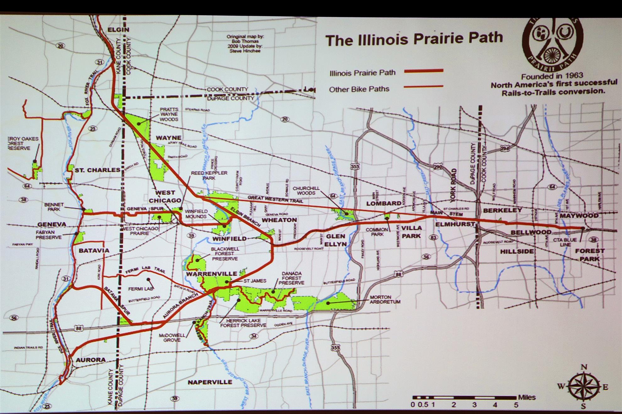
The Illinois Prairie Path is a multi-use nature trail for non-motorized public use. It spans approximately 61 miles in Cook, DuPage and Kane Counties in northeasten Illinois. A former right-of-way for the old Chicago Aurora & Elgin electric railroad, it was the first U.S. rail-to-trail conversion in the nation in the 1960’s.


The emblem shown on signs, road crossings, and even our custom trash containers, provides several clues to the Path’s origin and uses. They include railroad spikes arranged in an inverted Y and three circles.
The railroad spikes indicate that the trail follows the right-of-way of the former Chicago, Aurora & Elgin Railway, an electric line which carried commuters and freight between Chicago and the western suburbs as far as the towns along the Fox River from Elgin to Aurora. The CA&E suspended commuter operations in 1957 and freight operations in 1959. The right-of-way was finally abandoned in 1961.
The inverted Y forms a rough map of the Path route: from First Avenue, Maywood, to Wheaton; then branching to Elgin and Aurora (with additional spurs to Geneva and Batavia).
The symbols in the 3 circles suggest just some of the many ways to enjoy the Path – on foot, bicycle or horseback.
Users of the Path enjoy the scenic 61 miles, which includes many Illinois recreated prairie restorations.
The Path is surfaced primarily with a crushed limestone surface, which is easy on feet and bike tires alike, and sheds water quickly following rainfall.